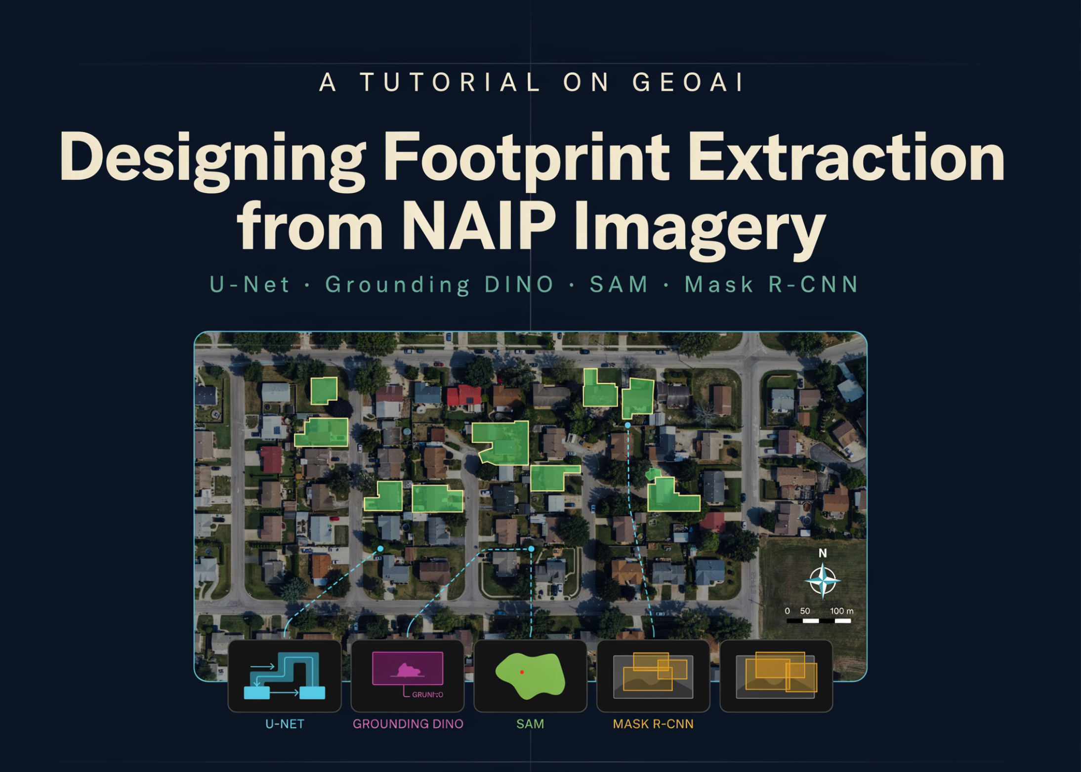
A Tutorial on GeoAI: Designing Footprint Extraction from NAIP Imagery Using U-Net, Grounding DINO, SAM, and Mask R-CNN
MarkTechPost publishes a tutorial on GeoAI workflows for extracting building footprints from NAIP aerial imagery using models like U-Net, Grounding DINO, SAM, and Mask R-CNN.
The guide outlines a technical pipeline for geospatial deep learning, focusing on semantic segmentation and object detection tasks applied to aerial photography.
It integrates several prominent architectures, including U-Net for segmentation, Mask R-CNN for instance detection, and foundation models like SAM and Grounding DINO to enhance extraction accuracy.
Such workflows are critical for urban planning, disaster response, and infrastructure monitoring, where automated building mapping reduces manual labor and increases scalability.
The tutorial emphasizes environment configuration and data handling, addressing common challenges in processing raster imagery and vector labels within a machine learning context.
This page provides an editorial summary based on publicly available information. It is not a republished article. Use the source link below for the original report.